Carlson PhotoCapture Standalone Basic & Point Cloud Advanced
$ 91.21
Order via Marketplace (Price +20%)
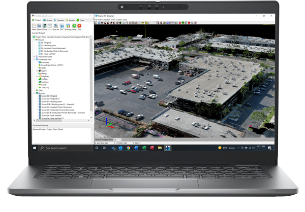
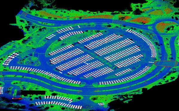
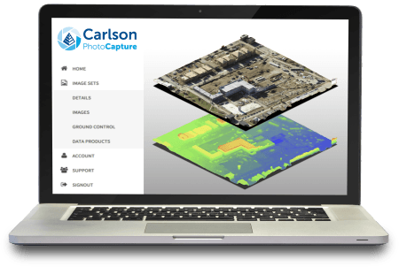
Enhance your surveying capabilities with Carlson’s comprehensive solution for aerial photogrammetry and advanced point cloud processing. This package combines PhotoCapture Standalone Basic and Point Cloud Advanced with a 12-month maintenance plan, providing you with seamless integration from aerial data capture to CAD-ready site models. PhotoCapture Standalone Basic processes drone flyover data into precise 3D maps, point clouds, and orthophotos, seamlessly integrating LiDAR data and enabling quick client sharing. Save valuable time in the field with cloud-based and desktop options. Point Cloud Advanced allows CAD integration of large point cloud datasets, handling up to a billion points with ease. Automate field-to-finish workflows, register scans, and export surface models and contours directly to CAD.